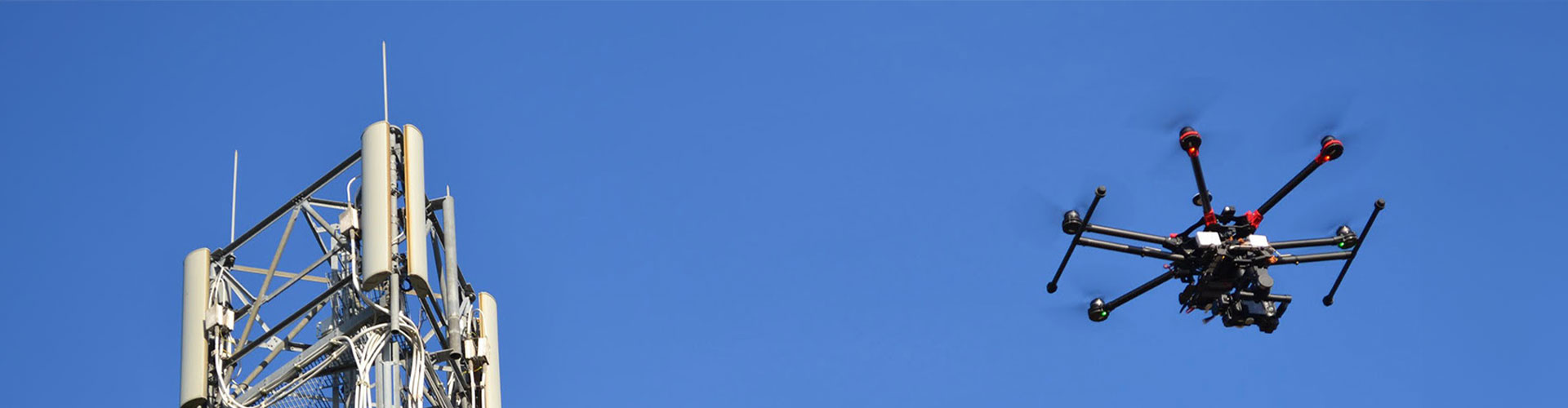
EES provides drone services nationwide with accurate, comprehensive geographic data and high resolution images needed to improve job site safety and increase efficiency in projects by minimizing costs with surveys. Our national network of insured and FAA licenses pilots works with our management team to deliver best in class results.
Our key capabilities include: